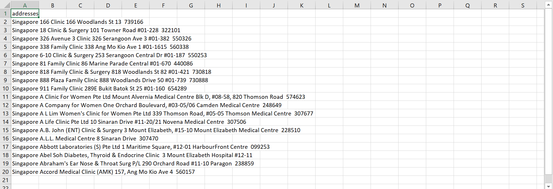
I wanted to turn a list of addresses into coordinates and display them on a map widget.
Preparation
I read Google Map’s guide on API key.
Method
First, create a Google Map API key following the above guide.
Then, import the necessary modules.
import re
import pandas as pd
import numpy as np
import csv
import time
from time import sleep
import random
import googlemaps
import os
Read in the list of addresses from a .csv file and set up the geolocator using the API key created beforehand.
# set working directory
path = ""
os.chdir(path)
API_key = ""
inputFileName = "addresses.csv"
outputFileName = "coordinates.csv"
pauseTime = [1,3]

# read in addresses
def read_csv_into_list(fileName):
  data = []
  with open(fileName, 'r', encoding = 'UTF-8') as f:
    for row in f:
      row = row.strip()
      data.append(row)
      print(row)
  data.pop(0)
  return data

addressList = read_csv_into_list(inputFileName)

# set up locator
geolocator = googlemaps.Client(key = API_key)

# set up output file
with open(outputFileName, 'w', encoding = 'UTF-8', newline = "") as outputFile:
  colNames = ['addresses', 'coordinates']
  writer = csv.writer(outputFile)
  writer.writerow(colNames)
Finally, loop through the list of addresses and obtain the latitude and longtitude for each address.
for address in addressList:
  # pause the loop for a random amount of time
  sleep(random.randint(pauseTime[0], pauseTime[1]))
  location = geolocator.geocode(address)
  try:
    # record latitude and longitude
    coordinates = (location[0]['geometry']['location']['lat'], location[0]['geometry']['location']['lng'])
  except:
    coordinates = "NA"
  print(coordinates)
  with open(outputFileName, 'w', encoding = 'UTF-8', newline = "") as outputFile:
    data = [address, coordinates]
    print(data)
    writer = csv.writer(outputFile)
    writer.writerow(data)
Result
Consider the sample input file address.csv shown below,

List of addresses.
we obtain the output file coordinates.csv shown below.

List of addresses together with latitude and longitude obtained via the geolocator.